Dorset · DT7
Drone search and rescue cover in Lyme Regis
Aerial search cover on the unstable landslip coast around Lyme Regis, covering cliff, path and fossil beach without testing the ground on foot.
Ground that shifts beneath the path
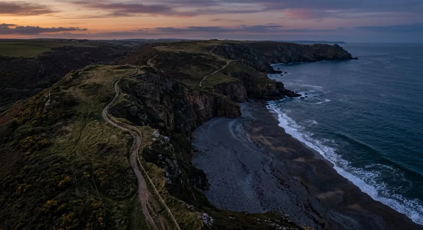
Lyme Regis stands right where Dorset gives way to Devon, on a landslip coast that has never fully settled. The Undercliff to the west is known for slipping and slumping in wet weather, and that same instability runs under stretches of the coast path on either side of the town. For anyone searching on foot, that changes the arithmetic completely: a searcher checking a gully, a fallen slope or a patch of scrub below the path is putting their weight on ground with a history of moving under people. Slow, careful foot access is often the right call precisely because the ground can't be trusted, and that is exactly the situation where covering it from above first makes the most sense, before anyone commits to walking it.
A visual camera run along the cliff line picks out colour and shape against rock, scrub and the pale exposed clay this stretch is known for, while a thermal camera adds a second layer: a person's heat signature stands out against cooler ground or in a shaded fold of the slip that might not be visible from the path above at all. Flying that ground rather than walking it means a search coordinator can see the state of a stretch before committing anyone to it on foot, which matters more here than on a stable coastline. It also means the awkward or plainly dangerous sections, the kind no one would normally choose to scramble across, get checked without anyone having to.
The fossil beaches and the Cobb
The beaches either side of Lyme Regis draw fossil hunters and walkers onto a shoreline that sits between the tide and unstable cliff, which means a missing person here could plausibly be on open sand, tucked under an overhang, or up in the scrub above the beach. That is a long, uneven strip of ground to check thoroughly on foot in reasonable time, particularly once the light starts to go or the tide is coming in and narrowing the usable beach. An aerial sweep along that strip, worked from the Cobb out towards Charmouth in one direction and Seaton in the other, covers the same distance in a fraction of the time a line of searchers on the ground would need to walk it.
The Cobb and the harbour give a fixed, sheltered point to launch and recover from, which matters on a coastline this exposed to south-westerly weather. Search flights here are planned around what the wind and light will actually allow, rather than around a fixed schedule, because conditions on this stretch can shift as quickly as the ground itself does. A short flight from the harbour can reach the museum end of town, the fossil beaches, or the coast path climbing away towards the Undercliff, which means one launch point can cover very different kinds of ground without needing to relocate.
Working with the wider search
A drone search at Lyme Regis is run to support whatever the police or a search coordinator already have in hand, covering ground a foot search has not reached yet or checking a specific area that has been flagged as a priority. Imagery and any thermal detections are passed straight to whoever is running the search rather than acted on independently, and the aim throughout is simply to answer the question of what is actually on a given stretch of ground, quickly enough to change where the search effort goes next. On ground that can shift beneath a person's feet, that answer is worth having before anyone else sets out to check it themselves.
Response is built around being on site fast, with a pilot who lives locally rather than travelling in from elsewhere, and equipment that can be airborne within a short window of being called. That speed matters more on this coastline than on most, because ground here can change between one week and the next: a path that was walkable last month can be closed by a fresh slip, and a search coordinator needs current information about the state of the ground, not an assumption based on how it looked the last time anyone checked. Being able to fly that assessment quickly, rather than scheduling it days ahead, is often the actual value of bringing a drone into a search here at all.
Behind the flight
What sits behind a search around Lyme Regis
CAA registered
Operator ID and Flyer ID held, plus the A2 Certificate of Competency. Paperwork is available on the phone before a flight, including to the police or a search coordinator if it is needed.
Radiometric thermal
A DJI Mavic 2 Enterprise Advanced carrying a 640 by 512 thermal camera, strongest at dawn, dusk and after dark, which is when a ground search slows down the most.
100 megapixel visual camera
A DJI Mavic 4 Pro with a Hasselblad camera and 6K video, used for daylight coverage and for legible imagery of anything found, close enough to act on.
Insured with Coverdrone
Full commercial cover for the operation. Certificates go to a search coordinator, a landowner or an event organiser as a matter of course, without anyone having to chase for them.
Nearby
Also covered around Lyme Regis
See how a search is flown
Call now, same day in Lyme Regis
Call with the location and what has happened. Sam Hembury will come back with a fixed price and get airborne as soon as it is safe to.