Devon · EX34
Drone search and rescue cover in Ilfracombe
Aerial search cover for Ilfracombe's cliffs, coast path and harbour, where steep ground and Atlantic wind slow a search on foot.
Ground that drops away fast
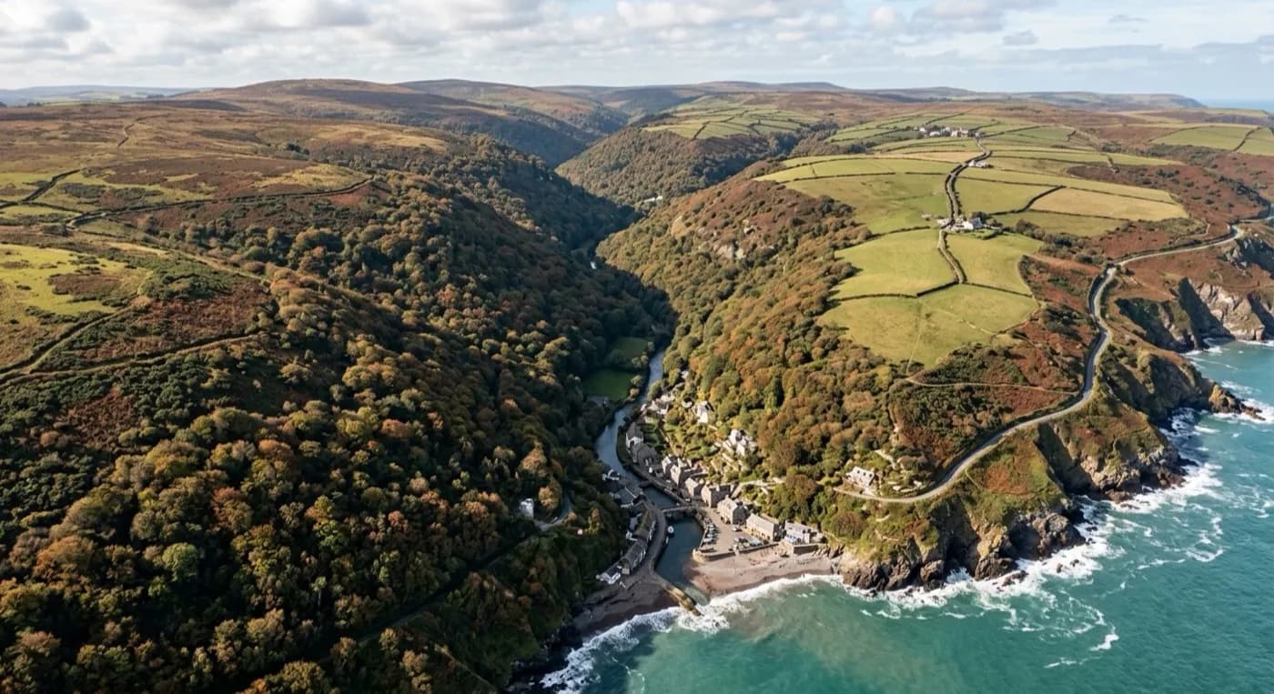
Ilfracombe's ground is unusual even by North Devon standards. The town is wedged between steep hills and high cliffs, and the land does not slope gently down to the sea so much as fall away from it, dropping sharply from the clifftop path to a small, sheltered harbour below. That drop is the whole problem with a foot search here: a team cannot always get close enough to the cliff edge to see what is on the ledges, rocks or narrow beaches beneath it without putting themselves in danger, and some of that ground simply is not reachable on foot within a useful timeframe.
A drone removes that trade-off. It can fly the cliff line itself, working down from the coast path edge to the rocks and small coves below, and into folds of coastline around Hillsborough and Capstone Hill that are invisible from directly above. Those coves and ledges are exactly the kind of ground a coastal search needs eyes on quickly, because a person on that ground is often out of sight of both the clifftop path and any boat working the water below.
Sea, salt and steep light
This stretch of coast takes the full force of whatever the Atlantic is doing, with nothing between Ilfracombe and open sea to slow the wind down. Add steep ground to that and you get strong, gusty, unpredictable air right where a search often needs to happen, along cliff edges and around headlands where wind speeds up as it is forced over the top. Flying here is a judgement call made on the day, not a fixed plan made in advance, and part of the job is knowing when conditions along the clifftop are flyable even if the harbour below looks calm.
Salt in the air is mainly a maintenance issue, but it is a reminder of how exposed this ground is. For the search itself, the more useful weather factor is light: low winter sun on north-facing cliff ground throws hard shadow that can hide as much as it shows on a visual pass, which is where a thermal pass earns its place, picking out a heat signature against cold rock and cold sea air even when the visual picture is difficult to read.
A small harbour, a lot to search around it
Around the harbour itself the search picture is different again: boats, pontoons, sea walls and a working quay, with the tide changing how much of the harbour bed and foreshore is exposed at any given time. A missing person near the harbour could be on land, on the water, or on ground the tide has only just covered, and a drone pass over the whole area, harbour, Tunnels Beaches and the beaches either side, builds a quick picture of where to send people first.
Landmarks like Ilfracombe Harbour, Hillsborough and Capstone Hill give a search coordinator or a worried family a shared way to talk about where the drone is looking, which matters when relaying live footage back to people who are not on site. The visual camera covers open coast path and cliff top in sharp detail, and the thermal camera picks up a heat source against cold rock or cold water, two different tools for two very different kinds of ground within a few hundred metres of each other.
Behind the flight
What sits behind a search around Ilfracombe
CAA registered
Operator ID and Flyer ID held, plus the A2 Certificate of Competency. Paperwork is available on the phone before a flight, including to the police or a search coordinator if it is needed.
Radiometric thermal
A DJI Mavic 2 Enterprise Advanced carrying a 640 by 512 thermal camera, strongest at dawn, dusk and after dark, which is when a ground search slows down the most.
100 megapixel visual camera
A DJI Mavic 4 Pro with a Hasselblad camera and 6K video, used for daylight coverage and for legible imagery of anything found, close enough to act on.
Insured with Coverdrone
Full commercial cover for the operation. Certificates go to a search coordinator, a landowner or an event organiser as a matter of course, without anyone having to chase for them.
Nearby
Also covered around Ilfracombe
- BarnstapleAerial search cover for the tidal Taw around Barnstaple, from exposed estuary mudflats to wooded slopes climbing towards Exmoor.
- South MoltonAerial search cover across the hedge-bound farmland and moor edge around South Molton, on Exmoor's wet southern approach.
- BidefordAerial search cover across both banks of the tidal Torridge at Bideford, from the old town quay out to the open dunes at the estuary mouth.
See how a search is flown
Call now, same day in Ilfracombe
Call with the location and what has happened. Sam Hembury will come back with a fixed price and get airborne as soon as it is safe to.