Devon · EX22
Drone search and rescue cover in Holsworthy
Aerial search cover across the large hedged fields and heavy clay farmland around Holsworthy, on Devon's exposed north-west plateau.
Big fields on heavy ground
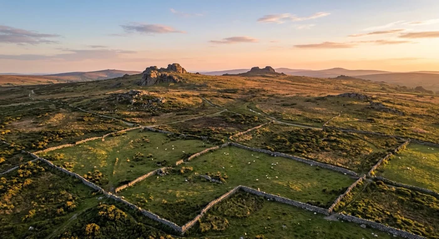
Holsworthy sits on the Culm Measures plateau in the far north west of Devon, open rolling farmland that drops away into the Deer valley and runs on towards the Cornish border a few miles further west. Farms out here tend to be built around large hedged fields rather than the smaller enclosures found nearer the moor, and the high banks that mark those boundaries also block the view from one field into the next, so a search often can't confirm a field is clear until someone has physically walked into it.
The ground itself is heavy clay, and it's the reason tractors and other plant struggle to get onto these fields for much of the winter. That same clay is just as much of a problem for anyone on foot, turning what looks on a map like a short walk between two farm gates into a slow, exhausting slog through mud that can add hours to covering an area that isn't actually that large.
Weather with nothing to break it up
There's nothing between Holsworthy and the Atlantic, and the ground here feels that lack of shelter. Wind and rain arrive with little warning and don't let up quickly, and on an open plateau like this there's rarely a hedge bank or a stand of trees big enough to give a search party proper shelter while working through it.
A drone crosses those hedge lines and large fields in a fraction of the time a search on foot needs, and can check field corners and the lee side of hedgerows, exactly the kind of sheltered spot a person or a strayed animal is likely to head for in bad weather, without the ground underfoot slowing anything down.
A very large proportion of the parishes around Holsworthy are working farms, with barns and agricultural sheds as much a part of the landscape as the fields themselves, so a missing-livestock call here is at least as common as a missing-person one. The same aerial pass that checks a field for a person checks it for a stray ewe or a bullock that has gone through a broken fence line, without anyone needing two different visits for two different kinds of search.
Reference points across open farmland
Holsworthy viaduct is the standout landmark for miles in this kind of country and works well as a fixed point for organising a search grid across ground that otherwise looks much the same field after field. Stanhope Park sits close to the centre of town as a briefing point, and out towards the coast, Tamar Lakes gives another clear reference for search areas further out, useful when covering the wider farmland known locally as Ruby Country rather than a single tight area around Holsworthy itself.
The Cornish border sits only a few miles west, and a search that starts on a Holsworthy farm can end up running close to it without anyone planning that in advance, which is worth knowing early on so the right ground gets checked first rather than assumed to stop neatly at a county line.
Behind the flight
What sits behind a search around Holsworthy
CAA registered
Operator ID and Flyer ID held, plus the A2 Certificate of Competency. Paperwork is available on the phone before a flight, including to the police or a search coordinator if it is needed.
Radiometric thermal
A DJI Mavic 2 Enterprise Advanced carrying a 640 by 512 thermal camera, strongest at dawn, dusk and after dark, which is when a ground search slows down the most.
100 megapixel visual camera
A DJI Mavic 4 Pro with a Hasselblad camera and 6K video, used for daylight coverage and for legible imagery of anything found, close enough to act on.
Insured with Coverdrone
Full commercial cover for the operation. Certificates go to a search coordinator, a landowner or an event organiser as a matter of course, without anyone having to chase for them.
Nearby
Also covered around Holsworthy
- BidefordAerial search cover across both banks of the tidal Torridge at Bideford, from the old town quay out to the open dunes at the estuary mouth.
- Great TorringtonAerial search cover for the steep common land and wooded river valley below Great Torrington, a town standing high above almost all of it.
See how a search is flown
Call now, same day in Holsworthy
Call with the location and what has happened. Sam Hembury will come back with a fixed price and get airborne as soon as it is safe to.