Devon · EX31-EX32
Drone search and rescue cover in Barnstaple
Aerial search cover for the tidal Taw around Barnstaple, from exposed estuary mudflats to wooded slopes climbing towards Exmoor.
A river that changes twice a day
Barnstaple sits at the tidal limit of the Taw, where the river stops behaving like a river and starts behaving like an estuary. At low water there is a wide belt of exposed mud and saltmarsh either side of the channel; at high water most of that ground disappears under moving water. A person or an animal on that ground at the wrong state of tide is on ground that will not be there in a few hours, and a search that starts at low water needs to think hard about what happens as the tide turns. That single fact shapes almost every search plan we build for this stretch of the Taw.
Covering that ground on foot is slow and, for long stretches, hard going: soft mud does not hold weight evenly, channels cut through it that are not obvious from the bank, and visibility along the river corridor is broken up by reed beds and low willow. A drone works this ground differently. It can run the length of the exposed foreshore and the marsh edge in minutes rather than hours, flagging anything that needs a closer look on foot, and it can do it again as the tide comes back in to check ground that is about to be lost.
From the estuary edge up onto the moor
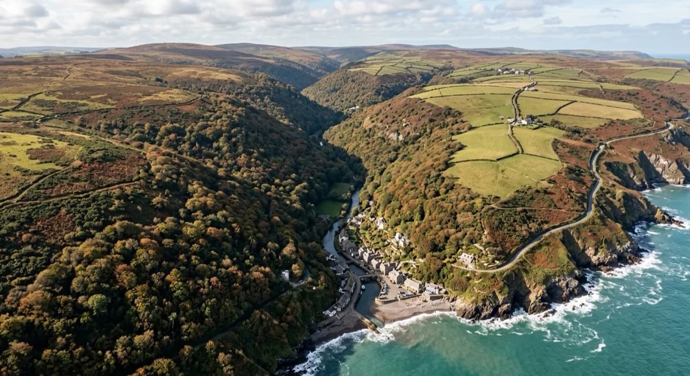
North of the town the ground changes completely. The low, flat estuary gives way quickly to steep, wooded slopes climbing towards Exmoor, and the Tarka Trail threads along that boundary between the two. A missing walker or runner in this part of North Devon could plausibly be on either side of that line, on the open riverside path or up in the trees above it, and those two environments need to be searched in different ways.
Wooded, steep ground is where thermal imaging earns its keep, and where it also meets its limits. A body of heat under thick summer canopy can be masked from directly overhead, so a useful search pattern often means flying lower passes along tracks, clearings and field edges where the canopy breaks, rather than one high pass over the whole wood and assuming it is enough. We plan the flight lines around where the canopy actually opens up, not just around the boundary on a map.
Working from ground people already know
For a search coordinator or a family who do not know Barnstaple well, orientation matters as much as coverage. Landmarks like the Pannier Market and Butchers Row in the town centre, Long Bridge over the Taw, and Rock Park on the riverbank give everyone a shared reference point when relaying where the drone is looking and what it has found. That shared picture speeds up decisions about where searchers on the ground go next.
Deployment is quick: the visual camera on the Mavic 4 Pro gives sharp, wide-area coverage of open ground and paths in daylight, and the thermal camera on the Mavic 2 Enterprise Advanced picks up heat signatures against cooler ground, which matters early in the morning, at dusk, or on the grey, overcast days that are common on this stretch of the estuary. Both cameras record, so footage can be reviewed frame by frame after the flight, not just watched live and then lost.
Behind the flight
What sits behind a search around Barnstaple
CAA registered
Operator ID and Flyer ID held, plus the A2 Certificate of Competency. Paperwork is available on the phone before a flight, including to the police or a search coordinator if it is needed.
Radiometric thermal
A DJI Mavic 2 Enterprise Advanced carrying a 640 by 512 thermal camera, strongest at dawn, dusk and after dark, which is when a ground search slows down the most.
100 megapixel visual camera
A DJI Mavic 4 Pro with a Hasselblad camera and 6K video, used for daylight coverage and for legible imagery of anything found, close enough to act on.
Insured with Coverdrone
Full commercial cover for the operation. Certificates go to a search coordinator, a landowner or an event organiser as a matter of course, without anyone having to chase for them.
Nearby
Also covered around Barnstaple
- BidefordAerial search cover across both banks of the tidal Torridge at Bideford, from the old town quay out to the open dunes at the estuary mouth.
- IlfracombeAerial search cover for Ilfracombe's cliffs, coast path and harbour, where steep ground and Atlantic wind slow a search on foot.
- Great TorringtonAerial search cover for the steep common land and wooded river valley below Great Torrington, a town standing high above almost all of it.
- South MoltonAerial search cover across the hedge-bound farmland and moor edge around South Molton, on Exmoor's wet southern approach.
See how a search is flown
Call now, same day in Barnstaple
Call with the location and what has happened. Sam Hembury will come back with a fixed price and get airborne as soon as it is safe to.