Skip to content

Life at risk or in immediate danger?Call 999 first. We assist the police and HM Coastguard, we do not replace them.
Drone Search and RescueExeter · Devon and the South West
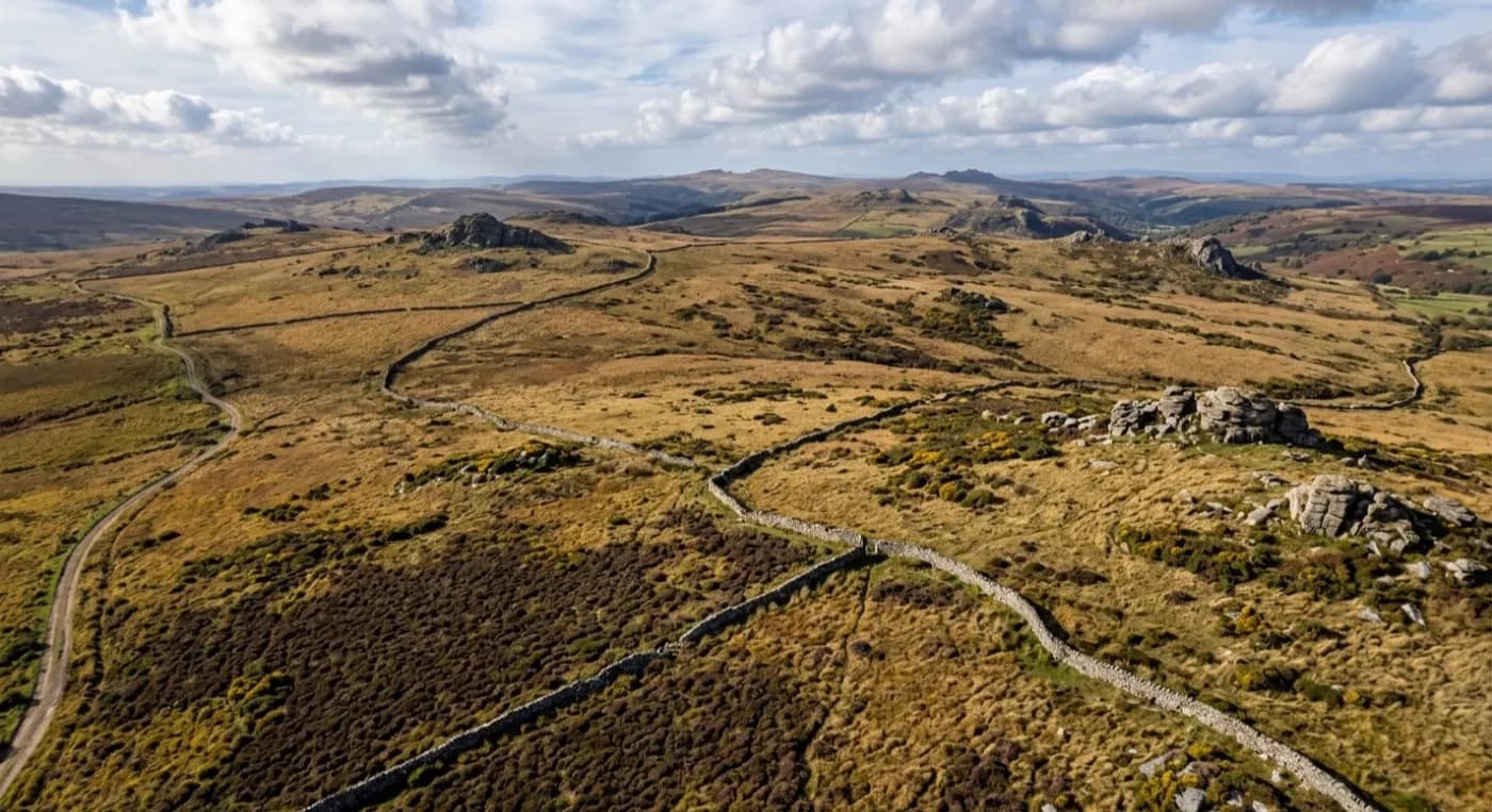
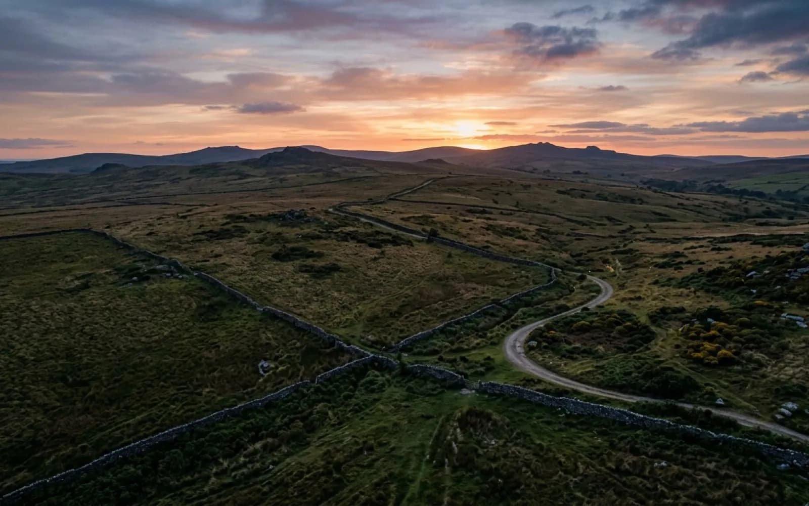
Aerial view of open Dartmoor grassland and dry stone walls at dusk, the kind of ground covered on a search flight

Devon and the South West · same day where possible

Aerial eyes over open ground, launched the moment we arrive

A fixed price agreed on the phone, thermal and visual cameras over the ground that matters, and a plain answer on what was covered. Alongside 999, the police and HM Coastguard, never in place of them.

  • In immediate danger or a life at risk: call 999 first, always
  • Thermal and visual cameras, effective at dawn, dusk and after dark
  • Fixed price agreed on the phone before anyone sets off
  • CAA registered and insured for commercial work

The actual problem

A person on foot covers a field. An aircraft covers the moor

Open ground is the problem. Dartmoor, Exmoor, a run of hedged farm fields or a stretch of coast path all look searchable on a map and take hours to actually walk, and every one of those hours matters more once the light starts to go.

A search line of people is still the right way to check ground closely, and this service is not a substitute for that. What it adds is height: a fast pass over a whole area that shows where to send the search line next, or confirms ground is clear so effort goes somewhere it is more likely to matter.

Thermal changes what is possible after dark, which is exactly when a ground search slows down the most. A warm body against cool open ground reads clearly to a thermal camera in conditions where a torch beam and a tired pair of eyes are working against the odds.

What we fly

Three kinds of call, one aircraft pair

The flying is much the same each time. What changes is who is coordinating on the ground and what they need back from the flight.
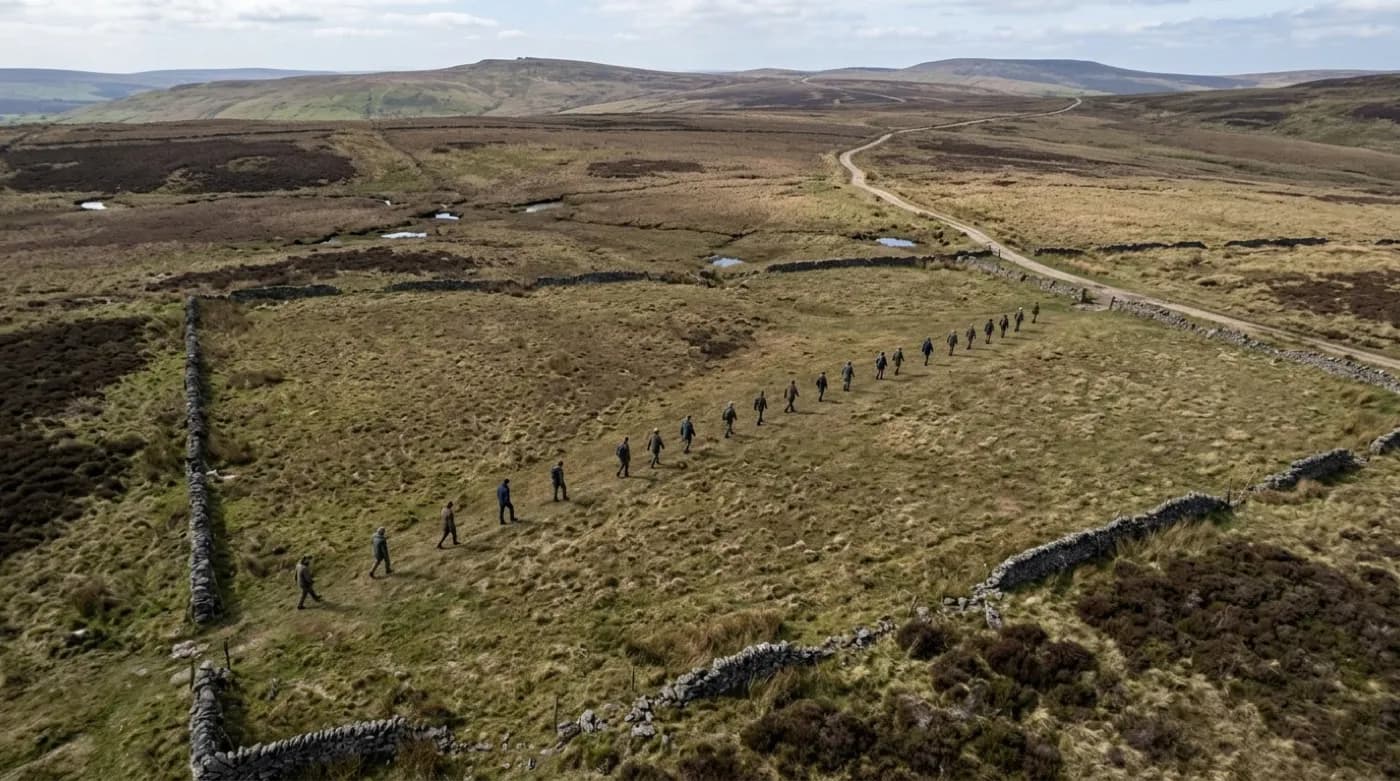
Aerial view of open moorland with a search line of people spaced across a field

Missing Person Search Support

Aerial thermal and visual search support over open ground, flown alongside the police and HM Coastguard, never in place of them.

Missing person support
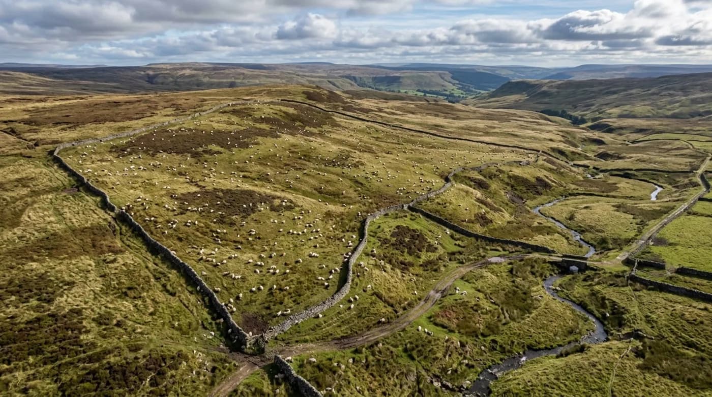
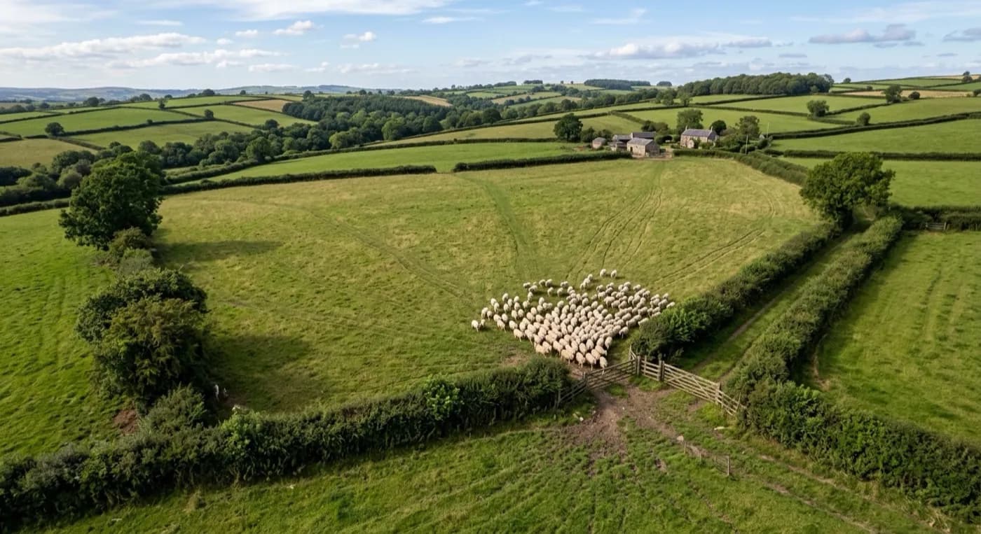
Aerial view of sheep scattered across an open moorland field with a stone wall boundary

Missing Livestock Search

A fast aerial search for stock missing on the moor, across a large holding, or through a broken fence line, thermal capable and priced fixed before anyone sets off.

Missing livestock
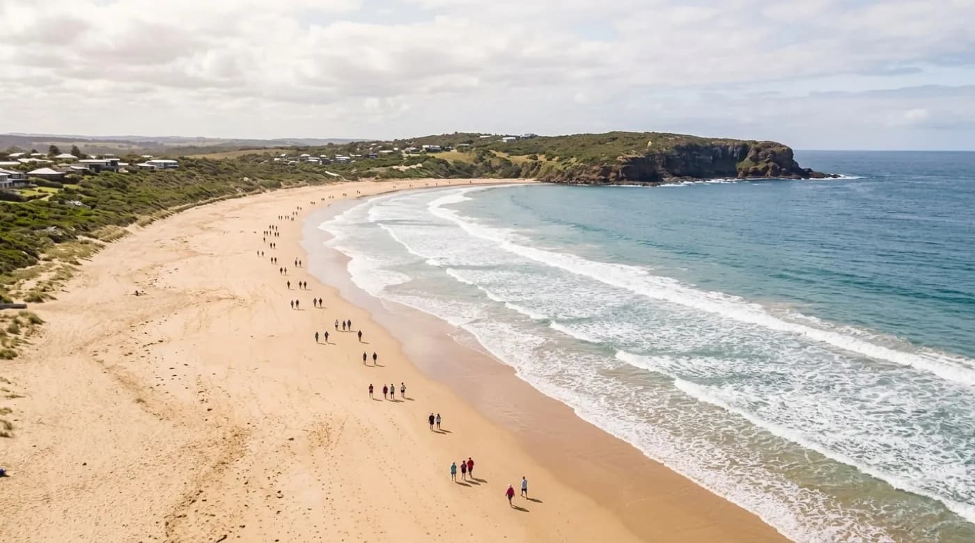
Aerial view of a wide open beach and headland with a line of walkers spread along the sand

Events and Large-Area Cover

Planned aerial cover for a walking event, a muster, a beach or headland safety sweep, or any large area a walkers' group or organiser needs eyes over before or during the day.

Events and large-area cover

Credentials

What sits behind the flight

CAA registered

Operator ID and Flyer ID held, plus the A2 Certificate of Competency. Paperwork is available on the phone before a flight, including to the police or a search coordinator if it is needed.

Radiometric thermal

A DJI Mavic 2 Enterprise Advanced carrying a 640 by 512 thermal camera, strongest at dawn, dusk and after dark, which is when a ground search slows down the most.

100 megapixel visual camera

A DJI Mavic 4 Pro with a Hasselblad camera and 6K video, used for daylight coverage and for legible imagery of anything found, close enough to act on.

Insured with Coverdrone

Full commercial cover for the operation. Certificates go to a search coordinator, a landowner or an event organiser as a matter of course, without anyone having to chase for them.

What happens next
A phone call the moment something is found, not an email later

The value is not the flight. It is what gets called in while the aircraft is still in the air, and the plain note afterwards of what ground was actually covered.
  • A phone call straight away if anything is spotted, with a location
  • Real-time monitoring of both the visual and thermal feeds while airborne
  • A repeat pass on anything worth a closer look, immediately, not logged for later
  • A plain note of what ground was covered and what could not be assessed
  • Full footage handed over where the police or a coordinator need it
  • Fixed price agreed on the phone before anyone sets off
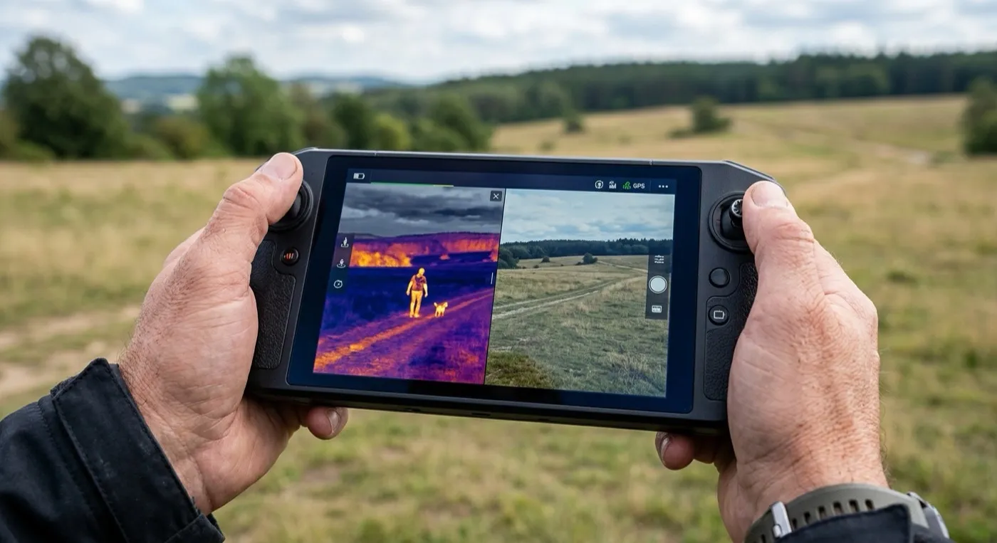
Handheld controller screen showing a thermal camera view of open ground beside the visual camera feed

What it looks like

The ground this covers, and why it takes so long on foot

None of this looks dramatic from a photograph. All of it is slow and exhausting to search on the ground, which is the whole point of putting an aircraft over it instead.
Handheld controller screen showing a thermal camera view of an open field split against the visual camera feed
Wide aerial view of open Dartmoor moorland with scattered gorse and a stone wall boundary, the scale a ground search is up against
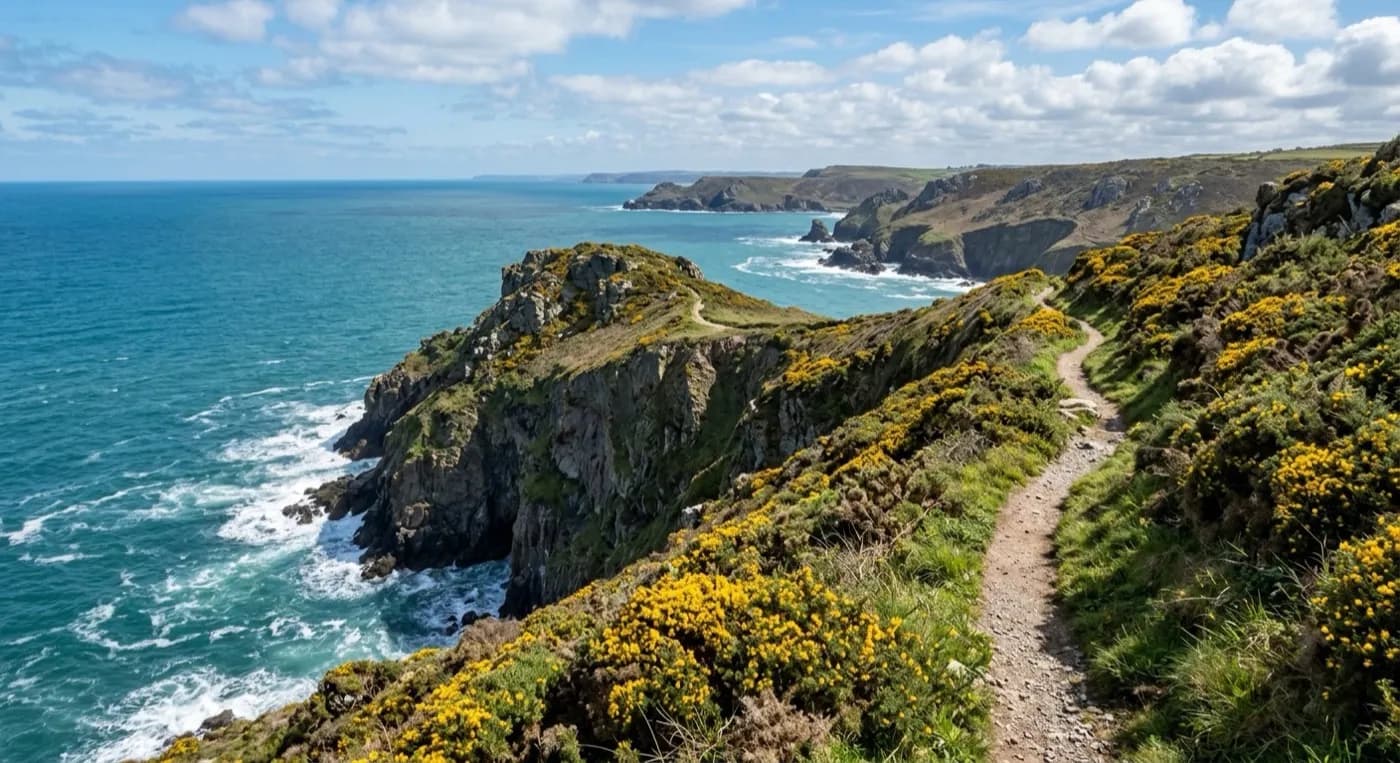
Aerial view of a South West coast path along a cliff edge with gorse either side and the sea below
Aerial view of a large hedged farm field with livestock grouped near a gateway

Where we fly

Dartmoor, Exmoor, the coast and the farmland between them

Every town below has its own page, written around the terrain a search actually meets there rather than the same paragraph with the name changed.

Questions

Questions we get asked

Is this a replacement for 999, the police or the coastguard?
No, and it is never presented as one. A missing person is a 999 matter first. This is a private drone operator that assists a search alongside the emergency services, flying under their coordination when they are on scene, and it never delays or substitutes for calling 999.
How quickly can the aircraft be in the air?
Usually within the hour of the call, once the location and a safe, lawful take-off point are agreed. Distance from Exeter and any airspace or existing-operation check can add a little time, and that is explained plainly on the phone rather than promised as a fixed figure.
What does thermal actually show?
A warm body against cool ground, which reads clearly at dawn, dusk and after dark. It does not see through dense woodland canopy, deep cover or water, and it is far less useful on a hot day once the ground itself has warmed. All of that is explained before booking, not after.
How much does this cost?
A fixed price, agreed on the phone once the ground and rough area are known, before anyone sets off. No figure is quoted here because it depends on the size and shape of the search area on the day.
Can you fly at night?
Yes, and thermal is at its strongest then. Flying after dark still needs the same airspace and safety checks as a daylight flight, and where conditions do not actually allow it, that is said plainly rather than attempted regardless.
Do you need permission to fly over private land?
Yes, for the land being searched and for the take-off point. Where the caller is not the landowner, permission is sorted before the flight rather than assumed, and this is usually quick where there is genuine urgency.
What happens if the weather is bad?
If wind, rain or low cloud make a safe flight actually impossible, that is said plainly and immediately, along with the earliest point conditions might allow another attempt. A flight is never forced through unsafe weather for the sake of it.
Will you hand over the footage to the police?
Yes, where the police or a search coordinator need it. Full raw footage and stills are available, not just a summary.

See how a search is flown

Call now, same day with Drone Search and Rescue

Call with the location and what has happened. Sam Hembury will come back with a fixed price and get airborne as soon as it is safe to.

Call 07401 387144Call now, same day