Devon · EX38
Drone search and rescue cover in Great Torrington
Aerial search cover for the steep common land and wooded river valley below Great Torrington, a town standing high above almost all of it.
A town on a bluff, ground falling away on three sides
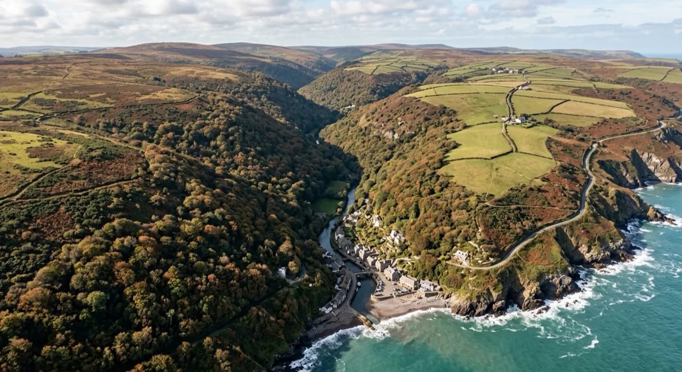
Great Torrington stands on a bluff high above a loop of the River Torridge, with the ground falling away steeply on three sides into commons and wooded slopes below the town. It is an unusual shape for a search: rather than one search area, there is a compact town at the top and a much larger area of steep, tree-covered common land wrapped around it and down to the river, and the two need very different approaches.
Torrington Commons cover a large area of mixed woodland, open grass and steep paths down to the river, and on foot that ground is slow going in every direction, uphill or down. A search line moving through the trees has to negotiate slope, undergrowth and blind ground behind trunks and banks, and a single pass rarely covers as much as it feels like it should. Flying the same ground from above compresses hours of walked ground into a much shorter flight.
Wooded combes and the limits of a straight line
Woodland is the one kind of terrain where a drone's advantage is not absolute, and it is worth being clear about why. Thermal imaging sees heat, not shapes, and thick summer canopy can block that heat signature from a camera directly overhead in the same way it blocks a view from a helicopter or a walker on the path below. What changes the outcome is where the flight lines go: tracks, clearings, riverbank and field-edge gaps in the canopy let the thermal camera see through to ground level, so passes are planned around where the wood actually opens up rather than one sweep over the whole area.
The steep drop from the town down to the Torridge also means light and shadow change fast across a search area, sometimes within the same flight. A slope in shadow reads very differently on a visual camera to one in full sun, and combining a visual pass with a thermal one, rather than relying on either alone, gives a fuller picture of ground that changes character from one side of the valley to the other.
A high viewpoint and a well-known layout
Torrington's position on high ground works in the search's favour when it comes to briefing: the view from Castle Hill viewpoint and the general layout of the commons around the town are familiar to most people who live locally, which makes it easier to describe where the drone is looking and where it has already been. Nearby landmarks such as Dartington Crystal and RHS Garden Rosemoor also give a search coordinator useful fixed points when a search area stretches beyond the commons themselves.
Because the town sits above everything around it, wind is a bigger factor here than the sheltered river valley below might suggest, exposed to whatever direction it is coming from with no higher ground of its own to break it. That is planned around rather than treated as a problem, and it rarely changes the case for using a drone here: covering steep, wooded, awkward ground quickly is exactly the situation this kind of search is built for.
Behind the flight
What sits behind a search around Great Torrington
CAA registered
Operator ID and Flyer ID held, plus the A2 Certificate of Competency. Paperwork is available on the phone before a flight, including to the police or a search coordinator if it is needed.
Radiometric thermal
A DJI Mavic 2 Enterprise Advanced carrying a 640 by 512 thermal camera, strongest at dawn, dusk and after dark, which is when a ground search slows down the most.
100 megapixel visual camera
A DJI Mavic 4 Pro with a Hasselblad camera and 6K video, used for daylight coverage and for legible imagery of anything found, close enough to act on.
Insured with Coverdrone
Full commercial cover for the operation. Certificates go to a search coordinator, a landowner or an event organiser as a matter of course, without anyone having to chase for them.
Nearby
Also covered around Great Torrington
- BidefordAerial search cover across both banks of the tidal Torridge at Bideford, from the old town quay out to the open dunes at the estuary mouth.
- BarnstapleAerial search cover for the tidal Taw around Barnstaple, from exposed estuary mudflats to wooded slopes climbing towards Exmoor.
- HolsworthyAerial search cover across the large hedged fields and heavy clay farmland around Holsworthy, on Devon's exposed north-west plateau.
- OkehamptonAerial search cover on Dartmoor's northern edge around Okehampton, where low cloud and driving rain close visibility fast near Yes Tor and High Willhays.
See how a search is flown
Call now, same day in Great Torrington
Call with the location and what has happened. Sam Hembury will come back with a fixed price and get airborne as soon as it is safe to.