Dorset · DT6
Drone search and rescue cover in Bridport
Aerial search cover along the river valley between Bridport and West Bay, running from inland hills down to the harbour.
A valley town with the coast at arm's length
Bridport is not a coastal town in the way its neighbours along this stretch are. It grew up as a rope-making town a mile and a half inland, sitting in a valley between high greensand hills, with the sea reached by following the river or the road down to West Bay. That inland position changes the shape of a search here. Rather than one stretch of cliff or beach, the ground that needs covering can run the length of the valley: along the river, through the fields either side, up onto the hills that flank it, and on down to the harbour at the coast. A search built around a single stretch of shoreline does not fit Bridport, because the ground that matters starts well before the sea is even in view.
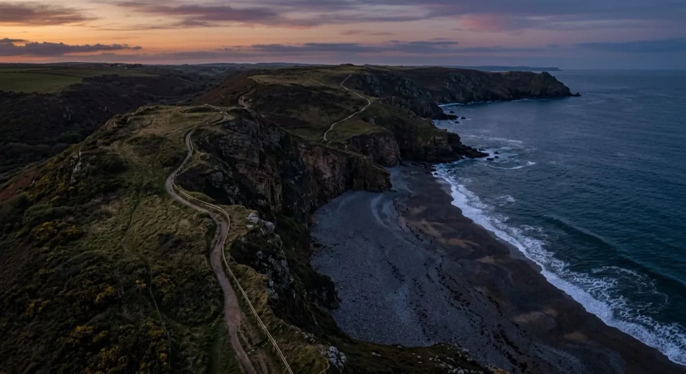
Colmers Hill and the wider greensand hills give the valley real height on both sides, and a search that only checks the obvious paths along the valley floor risks missing ground on the higher slopes or tucked into a fold of the hillside above. Flying the valley from above, rather than working outward from a single point on the ground, means the whole stretch between the town and the coast, hills, fields, river margin and beach together, can be looked at as one piece of ground rather than searched as a sequence of separate patches picked out in turn.
Following the river down to West Bay
A common shape for a search here runs along the river valley itself, from the town down towards the harbour at West Bay, since that is the natural route on foot and the most likely line for anyone who has gone missing to have followed without thinking about it. River margins, dense hedging and low ground along that route are awkward to check thoroughly on foot, especially once daylight is limited, and a visual pass down the length of the valley can cover that distance quickly enough to show where the ground actually needs a closer look on foot afterwards.
Once the search reaches West Bay itself, the ground changes again, with open harbour, beach and the start of the Jurassic Coast cliffs to the west. A thermal camera comes into its own once the light fades, picking out a heat signature against the cooler riverbank or an open field that a torch beam carried on the ground would only pick up by chance, and that difference matters most in the hour either side of dusk, when a valley search is often still running.
Weather off the hills and up from the bay
Bridport's valley position means it catches weather from two directions at once: southerly wind and rain pushed up from West Bay funnels straight along the valley, while higher ground on the hills either side picks up its own weather on top of that. Flights here are planned around both, since a calm morning down in the town can still be blustery on the open hilltop above it, and the flight plan has to account for whichever piece of ground is actually being covered that day.
As with any search, imagery and thermal detections are passed straight to the police or whoever is coordinating the effort, with the drone's role limited to covering ground quickly so the people directing the search know where best to send people on foot next. On ground this spread out, between hilltop, valley floor and harbour, that first wide look does most of the work of narrowing everything else down.
Behind the flight
What sits behind a search around Bridport
CAA registered
Operator ID and Flyer ID held, plus the A2 Certificate of Competency. Paperwork is available on the phone before a flight, including to the police or a search coordinator if it is needed.
Radiometric thermal
A DJI Mavic 2 Enterprise Advanced carrying a 640 by 512 thermal camera, strongest at dawn, dusk and after dark, which is when a ground search slows down the most.
100 megapixel visual camera
A DJI Mavic 4 Pro with a Hasselblad camera and 6K video, used for daylight coverage and for legible imagery of anything found, close enough to act on.
Insured with Coverdrone
Full commercial cover for the operation. Certificates go to a search coordinator, a landowner or an event organiser as a matter of course, without anyone having to chase for them.
Nearby
Also covered around Bridport
- Lyme RegisAerial search cover on the unstable landslip coast around Lyme Regis, covering cliff, path and fossil beach without testing the ground on foot.
- WeymouthAerial search cover across Weymouth's long open bay and Chesil Beach, well suited to a wide, fast sweep or event safety cover.
- ChardAerial search cover across the exposed ridge-top farmland around Chard, the highest town in Somerset.
See how a search is flown
Call now, same day in Bridport
Call with the location and what has happened. Sam Hembury will come back with a fixed price and get airborne as soon as it is safe to.